
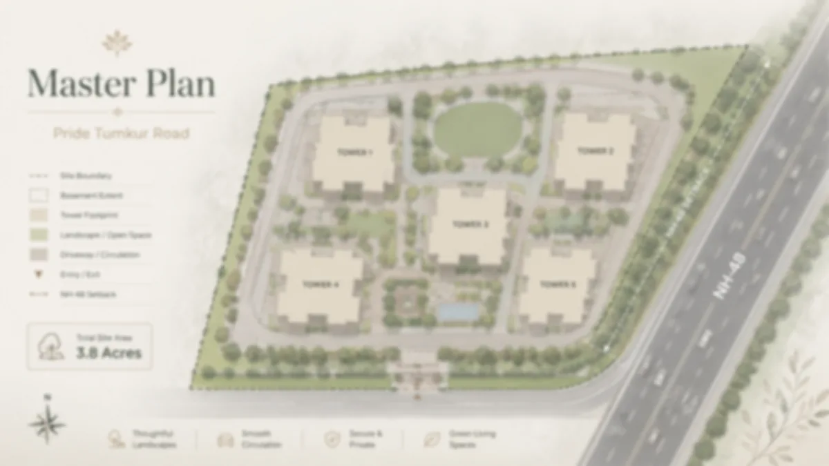
What a Master Plan Means for Pride Tumkur Road at This Stage
For a registered project, "master plan" means a specific document: the sanctioned site plan approved by the local planning authority, showing plot boundary, setbacks, tower footprints, FAR consumed, open space, parking counts and services. It is a legal instrument, and under the Real Estate (Regulation and Development) Act it becomes part of the public record on registration. Purva Attibele is useful for the site-planning lens because buyers should read open space, movement, parking, and amenity placement as everyday-use details, not brochure decoration.
None of that exists here yet, so this page does something different and says so. It takes the circulating figures at face value, works out what they would require on the ground, and flags where they hold together and where they do not. Read it as a feasibility reading, not as a description of a building. Every derived number below is labelled an estimate, and every circulating number is labelled unconfirmed.
The Land Area That Was Never Published
A five-tower, 693-home, 98.35 m scheme with three basements has no land area attached to it anywhere in the material in circulation. That omission is unusual enough to be the first thing worth solving, because density, open space, parking, podium size and price framing all hang off it.
Named assumptions, stated up front: the three unit sizes back-solved from the price ladder (1,150 / 1,650 / 2,300 sqft super built-up); a mix of 40% two-bed, 45% three-bed and 15% four-bed, which is our assumption and not the project's stated mix; and a 1.25 super built-up loading factor, the Bengaluru standard for a podium high-rise carrying a clubhouse.
- Weighted average unit size = (0.40 x 1,150) + (0.45 x 1,650) + (0.15 x 2,300) = 460 + 742.5 + 345 = 1,547.5 sqft
- Total saleable area = 693 x 1,547.5 = 1,072,418 sqft, about 10.72 lakh sqft
- Chargeable floor area = 1,072,418 divided by 1.25 = 857,934 sqft
- Land required at FAR 5.19 = 857,934 divided by 5.19 = 165,305 sqft
- In acres = 165,305 divided by 43,560 = 3.795, i.e. approximately 3.8 acres
The result is insensitive to the loading assumption within about a sixth of an acre - 3.95 acres at 1.20 loading, 3.65 at 1.30, 3.51 at 1.35. The top of the honest band, 4.7 acres, is the degenerate case where no loading is applied at all. So the working figure used across this site is approximately 3.8 acres, honest band 3.5 to 4.7 acres, and it is our estimate rather than the developer's number.
There is an independent check worth publishing, with the caveat attached. public mapping records shows exactly two amalgamable parcels directly opposite IKEA on the south-west side of NH-48: an unnamed industrial plot of about 2.51 acres and an adjacent construction parcel of about 1.10 acres, totalling 3.61 acres, with a 0.81-acre recreation ground between them that would take an assembly to 4.42 acres. The back-calculation lands inside that envelope, which is mild corroboration. It is simultaneously a warning: there is no spare land in it. Ownership, extent and any amalgamation are unconfirmed, and which side of NH-48 the parcel actually sits on has not been resolved - so nothing here should be read as identifying a specific plot or owner.
What Is Premium FAR in Bangalore, and Where 5.19 Comes From
This is the most useful technical thing on the page, because the 5.19 figure is not random and it is not achieved. It is the exact policy ceiling.
The base. RMP-2015, notified in June 2007, remains the operative master plan for land-use decisions in the BDA Local Planning Area. RMP-2031 was drafted and never approved. Under RMP-2015 the maximum residential and group-housing floor area ratio is 3.25, and 3.25 specifically requires an approach road wider than 30 m. NH-48 with its service roads plainly clears that, though the sanctioned road width at the plot is a survey question, not an assumption.
The premium layer. The Karnataka Premium FAR policy was gazetted on 21 February 2025 (Gazette Notification UDD 78 MNJ 2024(E)), with a framework notification in April 2025 and amendments effective February 2026. On roads above 18 m it permits a total additional entitlement of 0.6 times the base FAR, split as 0.4 purchased premium FAR plus 0.2 TDR. A minimum 9 m road width is needed to qualify for any premium FAR at all, and the purchased component is charged at roughly 28% of guidance value. The Karnataka High Court upheld the scheme's constitutional validity on 15 June 2026.
The arithmetic. 3.25 x 1.60 = 5.20. The circulating 5.19 lands on the policy maximum to within 0.2%. Someone with real planning knowledge produced that number - which is worth saying, because it means the figure is not noise. But it is a maximum presented as an achievement, and those are different claims.
What reaching it would actually require. Two separate transactions, neither of which is on record: buying premium FAR from the corporation at roughly 28% of guidance value on the additional area, and separately acquiring transferable development rights on the open market equal to the 0.2 component. Until a sanctioned plan shows the FAR granted, the honest description is the maximum permissible under the February 2025 Premium FAR policy, subject to premium FAR purchase and TDR loading.
And transit-oriented development is not the shortcut. The metro-TOD FAR clause people reach for exists only in the unapproved draft RMP-2031 (clause 4.18), applies within a 150 m radius of a station, requires a traffic impact assessment and BMRCL confirmation, and caps at 4.0 - below 5.19. The same draft's own group-housing tables cap at 3.20 for large non-SDZ sites and 3.50 within a special development zone. Proximity to Nagasandra Metro Station is a genuine locational asset here; it is not a source of extra FAR.
Density: an Estimated 182 Homes an Acre, and the Reverse Test
693 homes on approximately 3.8 acres is about 182 homes per acre - 147 at the top of the land band, 198 at the bottom. Set that against what is verified on this road:
| Scheme | Homes | Acres | Homes per acre |
|---|---|---|---|
| Godrej Tiara | 346 | 5.00 | 69.2 |
| Brigade Lumina | 416 | 3.97 | 104.8 |
| Prestige Jindal City | 3,571 | 32.37 | 110.3 |
| Pride Tumkur Road (circulating figures, estimated land) | 693 | ~3.8 | ~182 |
That is 1.74 times the densest verified new launch on this node and 2.63 times Godrej Tiara.
Now run it backwards, because that is where the tension sharpens. At Prestige Jindal City's 110.3 homes per acre - the densest verified scheme on this road - 693 homes would need 6.28 acres. On 6.28 acres the implied FAR is 857,934 divided by (6.28 x 43,560) = 3.14, which is below the RMP-2015 base of 3.25. On that parcel size no premium FAR would be needed at all, and the 5.19 headline would be meaningless.
So the FAR headline and the unit count are two statements of the same claim, and they reconcile at only one land area. Either the parcel is about 3.8 acres and the whole scheme depends on actually buying premium FAR and loading TDR, or it is about 6.3 acres and 5.19 is irrelevant to it. Both cannot be true, and no published document currently settles which.
Development Intensity Against a Real Underwriting Benchmark
There is a cleaner reality check available, and it comes from this exact road. In July 2024 Brigade Enterprises announced a joint-development agreement for a Tumkur Road residential project across 8 acres carrying about 1.2 million sqft of development area and a stated gross development value of about Rs 1,100 crore. That is 1,200,000 divided by 348,480 = 3.44 sqft of development per sqft of land.
The circulating scheme implies 1,072,418 sqft of saleable area on about 165,528 sqft of land = 6.48 sqft per sqft of land - 1.88 times the intensity a listed developer actually underwrote on the same stretch, in the same cycle, with its own balance sheet behind it. That is the most concrete plausibility test on this page.
One number in the comparison runs the other way and is worth keeping. Brigade's Rs 1,100 crore on 1.2 million sqft is Rs 9,167 per sqft - an independently underwritten rate on this road, sitting just under the Rs 10,000 per sqft the circulating price ladder implies. So the rate is corroborated by real underwriting even though the intensity is not. The circulating ladder would put this scheme's gross development value at roughly Rs 1,072 crore, which is a coherent number for a project of this notional size.
The Tower Form: High-Rise Apartments on Tumkur Road, an Indicative Five Towers at 98.35 m
For high-rise apartments on Tumkur Road, Bangalore, the vertical numbers in circulation are the part that holds together best.
- 98.35 m divided by 33 habitable levels (ground plus 32 upper) = 2.98 m floor-to-floor, a standard Indian residential slab-to-slab dimension
- 693 homes divided by (5 towers x 33 levels) = 4.20 homes per floor per tower
- Saleable floor plate = 4.20 x 1,547.5 = about 6,500 sqft per tower per floor
That set is internally coherent. It does not make it sourced - it makes it competently constructed, which is a different and weaker claim, and it should be described that way. Note also that the divisor is 33 habitable levels, not 32: dividing by the upper floors alone gives a wrong figure that has circulated elsewhere.
Where the form argues with the pricing is the plate itself. A 4.20-home floor plate is a large-unit configuration. Godrej Tiara uses exactly four homes per floor for a 2,120 to 2,940 sqft product priced from Rs 3.49 Cr. A Rs 1.15 Cr two-bedroom of about 1,150 sqft does not usually sit on that plate - a mass-market tower of that entry size typically runs six to ten homes per floor. So one of {tower count, floor count, unit count, entry price} is wrong. This is the sharpest internal inconsistency in the material, and a sanctioned typical-floor plan would resolve it in one page.
Two scale claims must be resisted while the numbers are unconfirmed. This would not be the tallest structure on the corridor - a 161 m residential tower and a 105 m tower at Jalahalli already exceed 98.35 m on this stretch of west Bengaluru. Nor would it be the largest scheme on the road, since Prestige Jindal City is 3,571 homes on 32.37 acres. The survivable claim is narrower: on the circulating figures, this would be the largest of the current new-launch crop on the Nagasandra node.
The Podium and the Open-Space Arithmetic
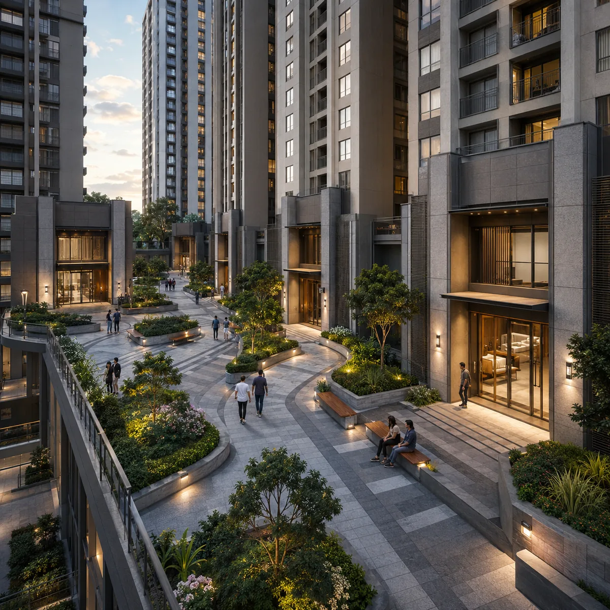
The circulating material describes a fully vehicle-free central podium and a standalone clubhouse. Both are normal for this typology and neither can be verified, but the arithmetic tells you how tight it would be.
Take a plot of about 165,528 sqft. Five tower footprints, each carrying a roughly 6,500 sqft saleable plate, imply built footprints in the order of 8,000 to 9,000 sqft each once cores, corridors and structure are added - call it 40,000 to 45,000 sqft of tower footprint, or roughly 25% of the plot. Add a standalone clubhouse and the statutory setbacks a 98.35 m building needs on every side, and the residual podium deck available for landscape, pool, courts and circulation is meaningful but not generous. Comparison helps: Godrej Tiara publishes 70% open space on 5 acres for 346 homes; this scheme would be attempting a comparable ratio on a smaller plot for twice the households.
The vehicle-free claim is the part most likely to survive, because it follows from the basements. If all parking sits below ground across three levels, the ground and podium planes genuinely can be car-free apart from a controlled drop-off and fire tender access. That is a design consequence of the basement count, not a separate promise, and it is the one amenity claim here with structural logic behind it.
What cannot be estimated at all is the open-space percentage, and no figure should be quoted for it until a site plan exists. Where a project publishes 75% or 80% open space, that number normally counts podium deck and setback landscape rather than ground-level green, and the two are not the same thing to live with.
Three Basements and the Parking Count
This is the one place the circulating numbers cohere comfortably, and it is worth saying so plainly after several sections that do not.
Three basement levels across approximately 3.8 acres at about 85% coverage gives 3 x 165,528 x 0.85 = 422,096 sqft. At about 320 sqft per bay including ramps, aisles and circulation, that is roughly 1,320 bays - about 1.9 per home against 693 units. Bengaluru projects of this vintage typically deliver 1.2 to 1.5. So the parking provision implied by three basements is comfortably above norm, and if anything suggests the basement count was set by a real design rather than a round number. Treat 1,320 as an estimate; the coverage and bay-size assumptions are ours.
Three basements do carry engineering questions a buyer should raise, and they are specific to this belt rather than generic:
- Water table and dewatering. Three levels of excavation on the Peenya belt is a geotechnical question, and no soil investigation or water-table data has been published.
- Prior industrial use. The parcel sits in an industrial belt with a documented contamination record. Prior-use history and any pollution-control consent attaching to the land are real diligence items when three basements are being cut into it.
- Automated parking. The material describes an automated multi-level system. Automated stackers change bay counts, retrieval times and long-run maintenance costs materially, and none of those parameters is published.
Circulation: Getting an Indicative 693 Homes On and Off NH-48
Access is a genuine design constraint here and it is not discussed in the circulating material at all.
A sweep of this stretch of NH-48 returns no pedestrian crossing, no traffic signal and no vehicular subway. The carriageways are divided. Vehicle access to a site on the south side therefore runs off the service road, with any city-bound or outbound movement depending on the nearest U-turn rather than a direct crossing - which is why the corridor's peak-hour behaviour is dominated by U-turn queues rather than junction stops. For 693 homes with roughly 1,320 basement bays, entry and exit points, ramp positions and the service-road merge are first-order questions, and a sanctioned plan is the only document that answers them.
Pedestrian circulation is the strong half. Nagasandra Metro Station has an entrance on the south side of the highway, signed "B: MS Ramaiah Enclave Side", so a site opposite IKEA reaches a platform at roughly 170 m without crossing NH-48 at all. For anyone who does need to cross, the 153 m foot overbridge that IKEA funded and built between April and October 2023, opened on 18 October 2023, spans both carriageways between the station and the store - the second direct metro-to-retail bridge on the Namma Metro network. A master plan that puts a pedestrian gate on the station side of the plot would convert that geometry into a daily benefit; one that puts the only gate on a service-road frontage would waste it. Which of those is drawn is unknown.
Peak-hour road commuting inbound is the honest counterweight: the Goraguntepalya junction downstream carries long waits at peak, and a proposed 4.4 km tunnel road from Tumkur Road to BEL Junction is at detailed-project-report stage only, neither funded nor under construction. The metro is the reliable route from here; the road is not.
Infrastructure: Water, Power, Sewage and Rainwater
Water is the first question on this site, and it has not been answered. Peer-reviewed sampling of 116 borewells in and around the adjacent industrial area found a Heavy metal Pollution Index averaging 846 before the monsoon and 336.7 after, against a critical value of 100; roughly 90% of groundwater and surface samples were unfit for drinking; and oral-ingestion hazard indices exceeded 1.00 for chromium, mercury and arsenic in both seasons. A scheme of 693 homes here should be on piped municipal supply with no borewell dependence, and that should be stated in writing before anything is signed. We do not know what the intended source is, and we are not going to guess.
One distinction is easy to conflate and matters. BWSSB pipes treated water from the Nagasandra plant to Peenya industry on a separate dual-pipe line. That is a non-potable industrial supply. It is not domestic water and must never be presented as the project's water source.
Sewage. A 20 MLD sewage treatment plant sits roughly 1.0 to 1.2 km south-west of the site, with a further plant under construction nearby. Independently of that, an on-site sewage treatment plant is mandatory for a residential project at this scale under Karnataka's pollution-control requirements, with treated water reused for landscape and flushing. No capacity figure has been published for this scheme; at 693 homes the requirement would be substantial and the plant's location on the plot is a design question worth seeing on a plan.
Rainwater harvesting is mandatory under the local building bye-laws for a plot of this size. On approximately 3.8 acres with three basements, the practical questions are where recharge pits can go when most of the plot is excavated, and how much of the harvested volume goes to storage rather than recharge. Neither is published.
Power. Sanctioned load and standby generation capacity are unpublished. For a 33-level tower, lift and pump backup is not optional and the diesel generator yard, transformer yard and their acoustic screening all need a place on the plan. A 98.35 m building also sits above the 60 m threshold at which high-rise fire-safety systems and a fire-department no-objection certificate become statutory - pressurised staircases, wet risers, refuge floors and fire-lift provision. No fire NOC is on record.
Phasing
Nothing has been published about phasing, and at 693 homes across five towers it is a live question rather than a detail. Corridor precedent shows how it usually goes: Prestige Jindal City registered Phase I and Phase II separately, and a nearby project registered phases II through V as distinct entries. Under the Act each phase is its own registration with its own completion date, which is precisely why phasing matters to a buyer - your enforceable date attaches to your phase, not to the scheme.
If this project proceeds, a five-tower scheme on a compact plot would most plausibly run in two or three phases with the podium and clubhouse completed early enough to serve the first occupied towers. That is a general expectation about this typology, not information about this project. Ask which tower and which phase your unit sits in, and ask for that phase's own registration number.
The Sanction and Approval Position
Everything below is a checkable status, and the honest entry for almost all of it is that nothing is on record.
| Approval | Authority | Position as at 17 August 2026 |
|---|---|---|
| Land use | RMP-2015, BDA Local Planning Area | Operative plan; site falls within it |
| Building plan sanction | Successor city corporation for Yeshwanthapura hobli (BBMP was dissolved on 2 September 2025 under the Greater Bengaluru Governance Act) | Not on record |
| Premium FAR purchase | Corporation, under the February 2025 gazette | Not on record |
| TDR loading | Open market / corporation | Not on record |
| Height clearance for 98.35 m | Airports Authority of India, plus direct defence clearances | Not on record |
| Fire NOC (above 60 m) | Karnataka Fire and Emergency Services | Not on record |
| Pollution-control consent | State pollution control board | Not on record |
| Water and sewerage connection | BWSSB | Not on record |
| Project registration | Karnataka RERA | Not registered. Verify at rera.karnataka.gov.in |
The height clearance deserves its own paragraph, because the circulating material omits it entirely and it is not a formality. An AAI height no-objection certificate is required within 20 km of a visual-flight-rules aerodrome reference point and 56 km of an instrument-flight-rules one. Measured from the corridor pin used on this site: Jakkur Government Flying Training School 11.8 km and Yelahanka Air Force Station 15.0 km, both inside the 20 km radius; HAL Bengaluru 21.1 km and Kempegowda International 27.8 km, both inside the 56 km radius. Kempegowda and Jakkur clear through the NOCAS portal; HAL and Yelahanka require direct defence-authority clearances outside NOCAS. Whether 98.35 m is the architect's chosen height or an AAI-permissible elevation is genuinely unknown - it would be neat if it were the latter, but that is an inference and we are not going to publish it as a finding.
Registration is the gate all of this runs through. A K-RERA registration cannot realistically precede a sanctioned plan, the premium FAR purchase, the TDR loading and a height clearance, none of which is on record. That is the chain of reasoning behind the estimated handover on this site not falling before 2032, and it is arithmetic on precedent rather than a date anyone has committed to.
What to Ask For When a Master Plan Is Finally Published
When a site plan lands, these are the eight things to read off it before anything else:
- Plot boundary, survey number and extent in acres - and whether the extent matches the khata.
- FAR sanctioned, stated as a number, alongside evidence that premium FAR was purchased and TDR loaded. Not the policy ceiling.
- Tower footprints and setbacks, and whether five towers genuinely fit with statutory separation at this height.
- Open space, split between ground-level green and podium deck. Ask which the headline percentage counts.
- Basement extent and bay count, with the automated-parking specification and the retrieval assumption.
- Entry and exit points onto the service road, ramp locations, and the pedestrian gate position relative to the Nagasandra Metro Station south entrance.
- Services layout - sewage treatment plant, generator and transformer yards, rainwater recharge, and the declared water source.
- Phase boundaries, with the registration number that will attach to each.
Until that document exists, this page is the most honest reconstruction the available material supports: the arithmetic is sound, the inputs are unconfirmed, and every figure here is labelled so you can tell which is which.
Check this for yourself
Every corridor fact on this site was taken from a primary source, and these are the ones to read before any money moves.
- Karnataka RERA portal — search by project and by promoter, and read the registration prefix
- Pride Group — the developer's own Bengaluru portfolio and ongoing-project list
- AAI NOCAS height clearance — any tower near 98 m needs a no-objection certificate on record
- BMRCL (Namma Metro) — Green Line station locations, entrances and timings
Pride Tumkur Road Master Plan FAQs
Will parking be adequate?
On the circulating figures, comfortably - and this is the one place the numbers agree with each other, which is worth saying out loud. Three basements across approximately 3.8 acres at about 85 per cent coverage is 3 × 165,528 × 0.85 = 422,096 sqft; at roughly 320 sqft per bay including circulation that is about 1,320 bays, or 1.9 per home against 693 units, against a Bengaluru norm of 1.2 to 1.5 for projects of this vintage. Every input there is unconfirmed - the basement count and the land area both - so treat the output as an estimate. Ask for the sanctioned parking count and the split between covered, open and visitor bays; that is a number the plan carries explicitly.
What has to happen before this project could even be registered?
Four things at minimum, none of them on record. A sanctioned plan or building permit from the planning authority. The purchase of premium FAR, charged at roughly 28 per cent of guidance value, if the FAR figure in circulation is to be reached. A separate acquisition and loading of Transferable Development Rights. And an airport height clearance, with the wrinkle that two of the four aerodromes in range require direct defence NOCs rather than the online NOCAS route. Registration then requires the promoter to file title, encumbrance, approvals and a committed completion date - which is exactly why a completion date only becomes meaningful once registration exists.
What is Premium FAR in Bangalore, and does FAR 5.19 mean the building is approved?
No, and the arithmetic shows why. RMP-2015 - still the operative plan, since RMP-2031 remains an unapproved draft - sets the maximum residential floor area ratio at 3.25 for a site on an approach road above 30 m. The Premium FAR policy gazetted on 21 February 2025 (Gazette Notification UDD 78 MNJ 2024(E), framework notification 2 April 2025, amendments effective 5 February 2026) adds, on roads above 18 m, a further 0.6 of the base split as 0.4 of purchased premium FAR plus 0.2 of TDR, with a 9 m minimum road width to qualify at all and a charge of roughly 28 per cent of guidance value. 3.25 × 1.60 = 5.20 - so the circulating 5.19 lands on the policy maximum to within 0.2 per cent. That makes it a ceiling, not an achievement: reaching it means actually buying premium FAR and separately acquiring TDR. Transit-oriented FAR is not the route either; that clause exists only in the draft RMP-2031, applies within 150 m of a station and caps at 4.0. The Karnataka High Court upheld the premium FAR scheme's constitutional validity on 15 June 2026, so the policy is live - what is unproven is that this project holds the entitlement. For scale, one real underwriting benchmark on this exact road: Brigade Enterprises' July 2024 joint development agreement carried about 1.2 million sqft on 8 acres, which is 3.44 sqft of development per sqft of land. The scheme described here implies about 6.48 - roughly 1.88 times what a listed developer actually underwrote on the same stretch.
Does the industrial edge affect air quality, commute and resale - and is the Peenya flyover open?
Peenya carries more than 2,100 industries dominated by chemical, leather, pharmaceutical, plating and polymer engineering; the sourced description is "one of the largest industrial zones in South-east Asia", not "Asia's largest", and even its extent is reported two irreconcilable ways. On air quality we have not verified a station-level series for this node, so we make no claim either way - check the nearest CPCB or KSPCB monitoring station yourself, which is a five-minute exercise. On commute, the documented pressure point is Goraguntepalya, where peak waits at the signal have been reported at 20 to 30 minutes; a flyover already carries NH-48 over that junction, and the BDA has invited tenders for a detailed project report on a 4.4 km six-lane tunnel from Tumkur Road to BEL Junction - DPR stage only, neither funded nor under construction, so treat it as an intention rather than a dated relief. We have no verified current open-or-closed status for any flyover closure on this stretch; check the live traffic advisory rather than a marketing page. On resale, the corridor's own record is the best available answer: Knight Frank puts Tumkur Road at +16 per cent over twelve months and +18 per cent over six, the fastest-appreciating locality in its West set, and West is the tightest zone in Bengaluru at 3.2 quarters-to-sell across 2,291 unsold units. Against that, a 693-home launch would equal 30.2 per cent of that entire unsold pool in one go (693 ÷ 2,291), which is a material supply event for a small, tight zone.
Which metro line is Nagasandra on - Green or Purple?
The Green Line. That is the other high-frequency query on this locality and the two get mixed up constantly, so it is worth stating flatly: no part of the Purple Line comes near this address. Nagasandra opened on 1 May 2015. Inward the line runs Nagasandra → Dasarahalli → Jalahalli and on through Yeshwantpur to the interchange at Majestic, continuing to Silk Institute at the southern end; outward the sequence is Nagasandra → Manjunathanagara → Chikkabidarakallu → Madavara, the current terminus.